Satellites play a pivotal role in Earth observation, offering critical insights into our planet’s climate, ecosystems, and natural resources. Today’s innovative satellites are equipped with advanced sensors and AI technology, enabling more precise data collection and real-time monitoring. These advancements are revolutionizing fields like environmental conservation, urban planning, and disaster management. As technology continues to evolve, satellites will become even more instrumental in addressing global challenges, offering new solutions for sustainable development and scientific research.
Contents
Sentinel-6 Michael Freilich
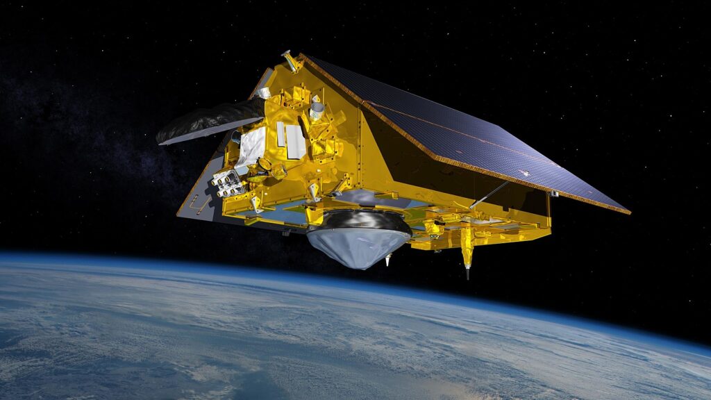
The Sentinel-6 Michael Freilich satellite, launched in 2020, is part of the European Space Agency’s (ESA) Copernicus program and is focused on monitoring global sea levels. Equipped with advanced radar altimetry, it provides highly accurate data on ocean height, contributing to climate change research and helping predict natural disasters like tsunamis and hurricanes. Named after the former NASA Earth Science Division Director, the satellite’s precision and long-term ocean monitoring capabilities are shaping future climate models and environmental policies. It plays a crucial role in understanding rising sea levels and their impact on coastal communities.
Landsat 9
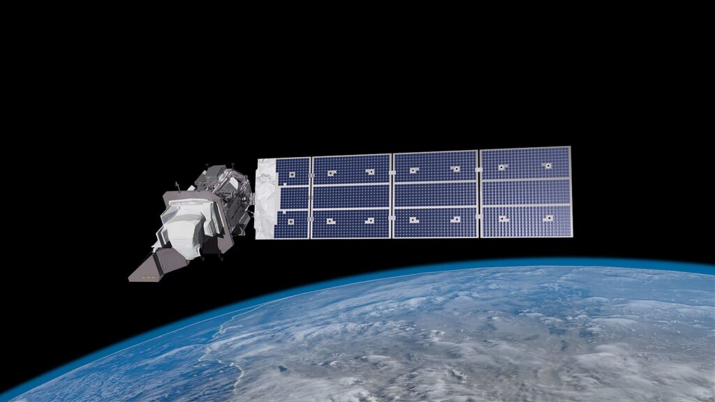
Launched in 2021, Landsat 9 continues the legacy of the Landsat program, which has been capturing Earth’s surface images since 1972. Managed by NASA and the U.S. Geological Survey (USGS), this satellite offers improved imaging of forests, agriculture, urban areas, and water bodies. Landsat 9’s ability to monitor changes over decades provides critical data for land use management, deforestation tracking, and natural resource monitoring. Its high-resolution imaging sensors and thermal infrared capabilities ensure that it remains a pivotal tool in Earth observation, contributing to sustainable land management and environmental conservation.
Copernicus Sentinel-2
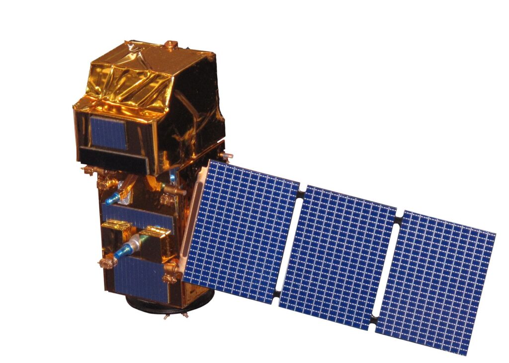
The Copernicus Sentinel-2 mission, part of the ESA’s Copernicus program, consists of two satellites launched in 2015 and 2017. They provide high-resolution optical imagery across 13 spectral bands, enabling detailed observations of vegetation, soil, water, and coastal areas. Sentinel-2’s multispectral imaging is vital for agriculture, forestry, land-use monitoring, and disaster management. The twin satellites deliver data at unprecedented resolution and frequency, allowing continuous Earth monitoring, which is essential for environmental planning and decision-making. Their contributions to global sustainability efforts make them innovative tools in Earth observation.
TerraSAR-X
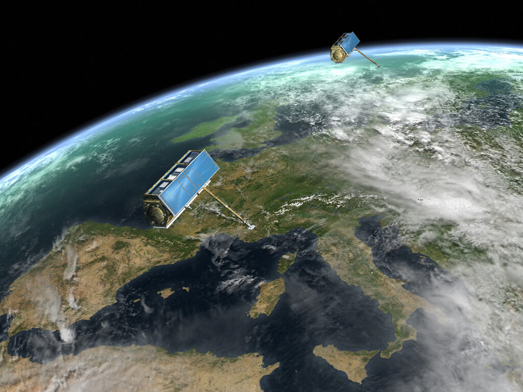
TerraSAR-X, a joint venture between the German Aerospace Center (DLR) and Airbus, has been providing high-resolution radar images since its launch in 2007. The satellite uses SAR technology to deliver precise measurements of surface movements, even in adverse weather or darkness. TerraSAR-X has been used extensively for urban planning, environmental monitoring, and natural disaster assessments. Its innovative ability to detect millimeter-scale changes on the Earth’s surface makes it invaluable for studying geological phenomena like earthquakes, landslides, and glacier movements.
GOES-16 (Geostationary Operational Environmental Satellite)
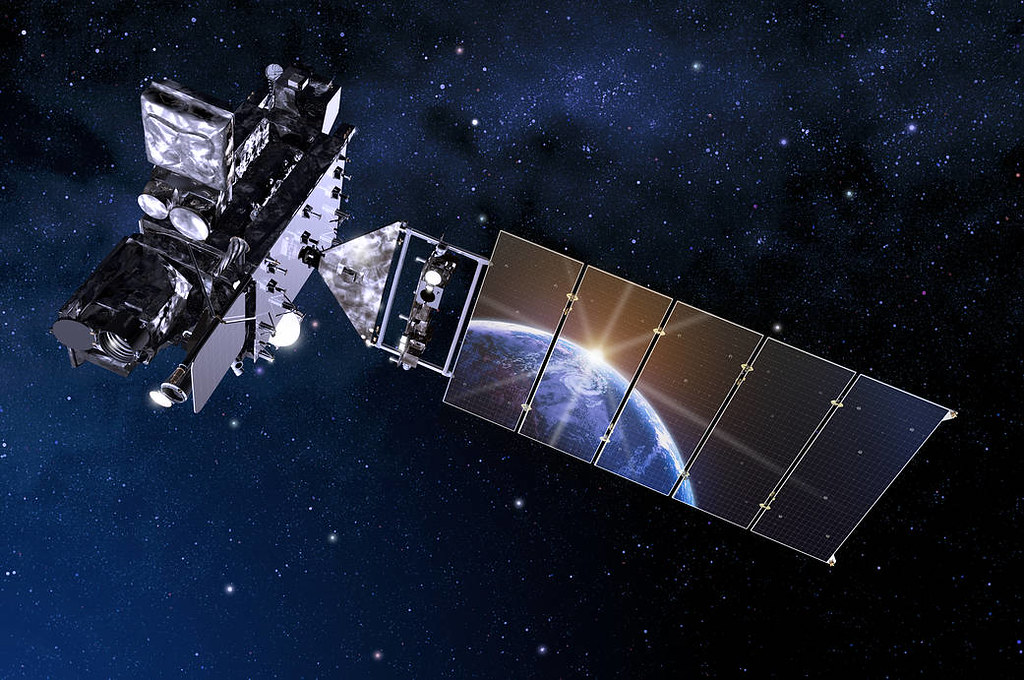
GOES-16, operated by NOAA and launched in 2016, is a highly advanced weather satellite providing real-time observations of severe weather events, including hurricanes, tornadoes, and wildfires. Equipped with advanced sensors like the Advanced Baseline Imager (ABI), GOES-16 delivers rapid, high-resolution imagery for weather forecasting, climate monitoring, and disaster preparedness. Its geostationary orbit allows continuous observation of the Western Hemisphere, significantly improving weather prediction models and response times for natural disasters. GOES-16 is reshaping meteorological monitoring with its ability to track storms in unprecedented detail.
WorldView-3
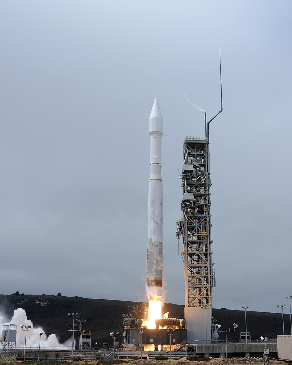
WorldView-3, launched in 2014 by Maxar Technologies, is one of the most powerful Earth observation satellites in operation, offering a resolution of 31 centimeters. It can capture detailed images of urban areas, agriculture, and coastal regions, contributing to industries ranging from defense to environmental monitoring. Its multispectral and shortwave infrared sensors provide data for precision agriculture, mineral exploration, and land-use planning. With its ability to capture both visible and infrared images, WorldView-3 is pushing the boundaries of satellite imagery and enhancing decision-making across multiple sectors.
TROPICS Constellation
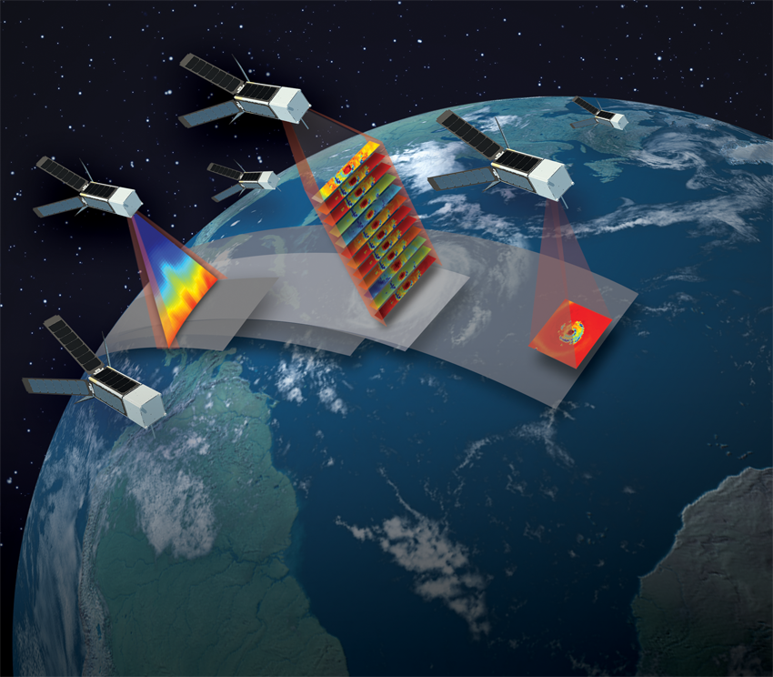
TROPICS (Time-Resolved Observations of Precipitation structure and storm Intensity with a Constellation of Smallsats) is a NASA mission set to launch a constellation of six small satellites between 2023 and 2024. These satellites are designed to study tropical cyclones by providing rapid updates on storm intensity, rainfall, and temperature. TROPICS will enhance the ability to monitor hurricane development in near-real-time, improving forecasting accuracy and disaster response. This cutting-edge satellite network will revolutionize weather prediction and contribute to saving lives during severe tropical storms.
PlanetScope
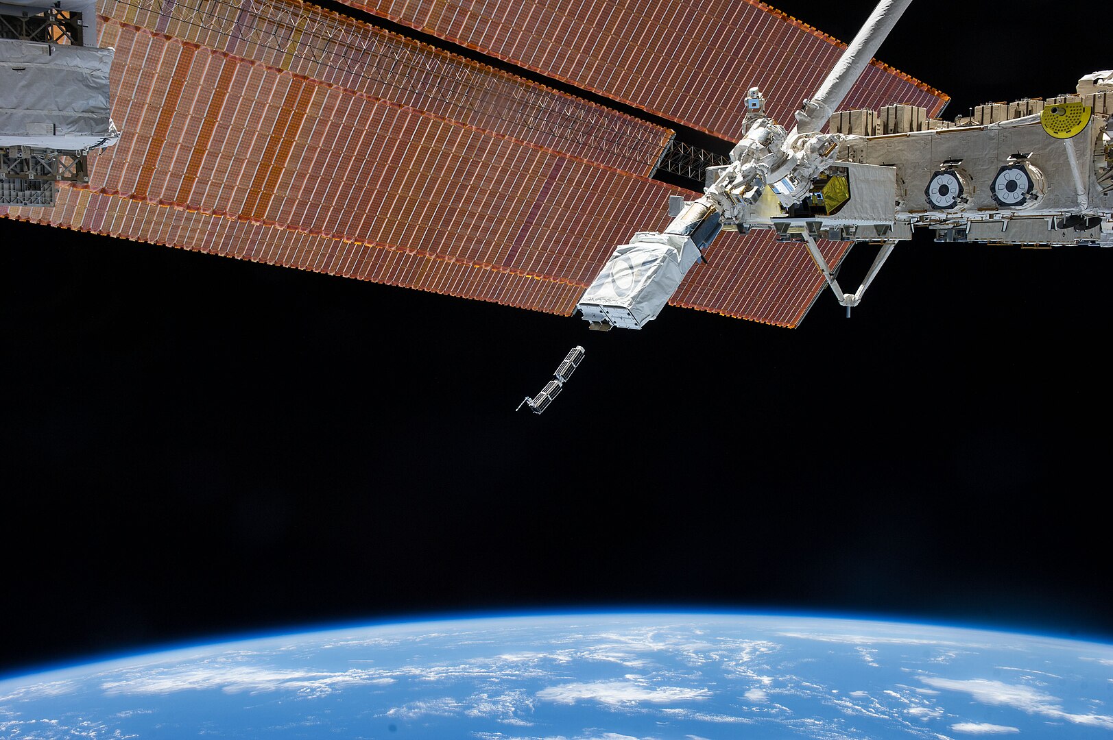
Planet Labs’ PlanetScope constellation, composed of hundreds of small CubeSats, offers daily Earth imagery at 3-meter resolution. This massive network of satellites provides continuous monitoring of global land cover, making it a game-changer in agriculture, forestry, and urban planning. PlanetScope’s ability to capture high-frequency images allows users to detect changes in near-real-time, offering valuable insights for environmental monitoring, disaster management, and climate science. The accessibility and affordability of its data make Planet Labs a leader in commercial Earth observation.
NISAR (NASA-ISRO Synthetic Aperture Radar)
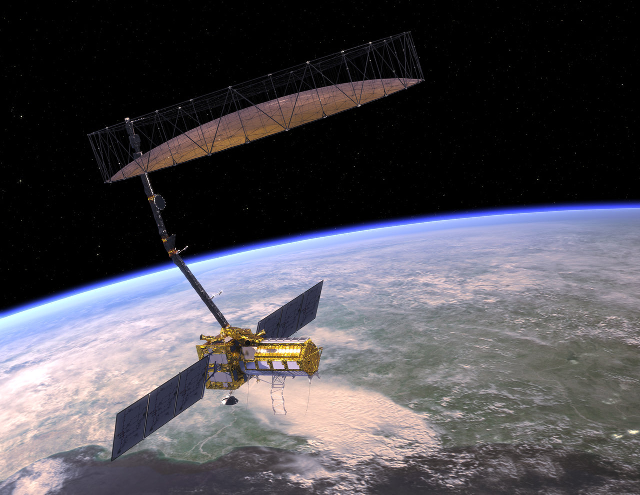
NISAR is a joint mission between NASA and the Indian Space Research Organization (ISRO), set to launch in 2024. It will use advanced radar technology to measure changes in Earth’s surface, including movements caused by earthquakes, landslides, and ice sheets. NISAR’s ability to monitor environmental processes like deforestation, glacial retreat, and agricultural patterns will provide critical data for climate change research. Its dual-frequency radar system will make it the most advanced SAR satellite to date, capable of offering global data for both science and disaster response efforts.
Sentinel-5P
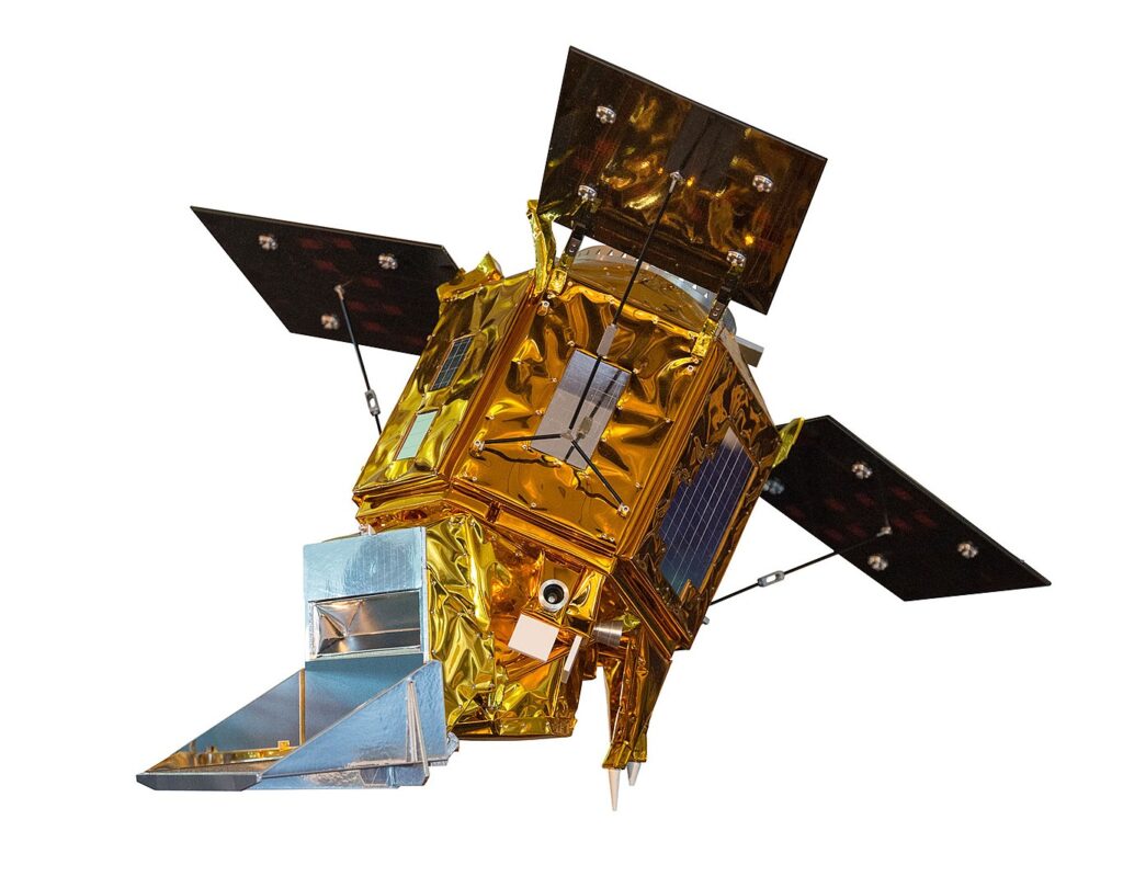
Sentinel-5P, part of ESA’s Copernicus program, was launched in 2017 to monitor air quality and atmospheric composition. Equipped with the TROPOspheric Monitoring Instrument (TROPOMI), Sentinel-5P provides high-resolution data on pollutants like nitrogen dioxide, methane, and ozone. This satellite is crucial for tracking air pollution and its impact on human health and the environment. Its data is used by scientists and policymakers to develop strategies for reducing emissions and improving air quality, making it a key player in environmental protection efforts.
ICESat-2
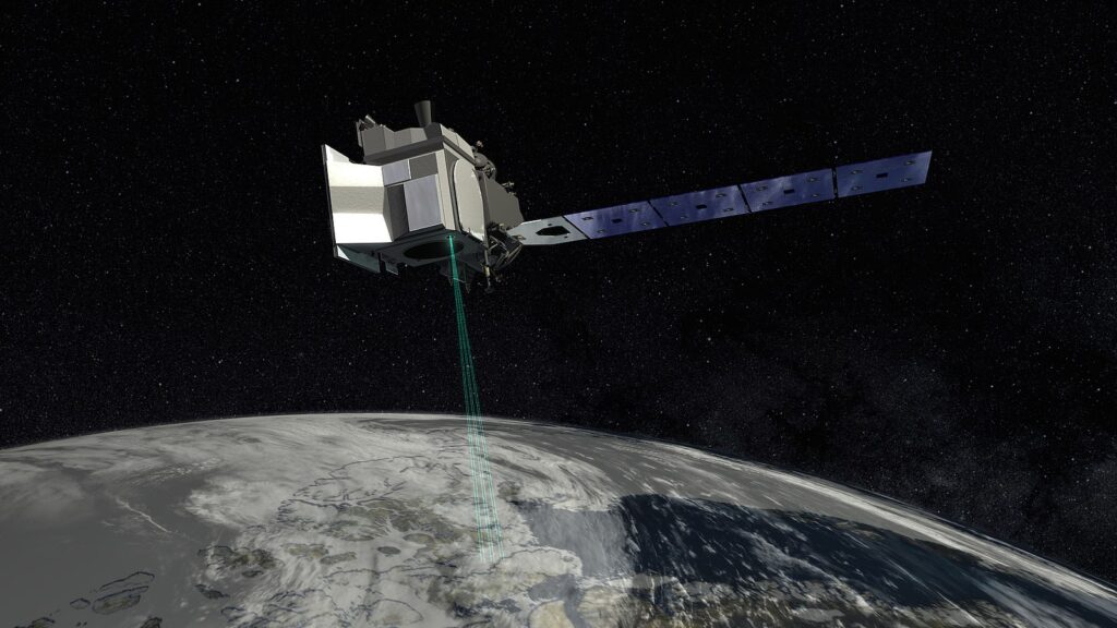
Launched in 2018 by NASA, ICESat-2 (Ice, Cloud, and Land Elevation Satellite) uses advanced laser altimetry to measure changes in ice sheets, glaciers, sea ice, and forest canopy heights. Its precise measurements help scientists monitor the effects of climate change on polar regions and global sea levels. ICESat-2’s groundbreaking technology enables it to detect even small changes in ice thickness, contributing to more accurate climate models. The satellite is essential for understanding how global warming is affecting Earth’s cryosphere.
SMAP (Soil Moisture Active Passive)
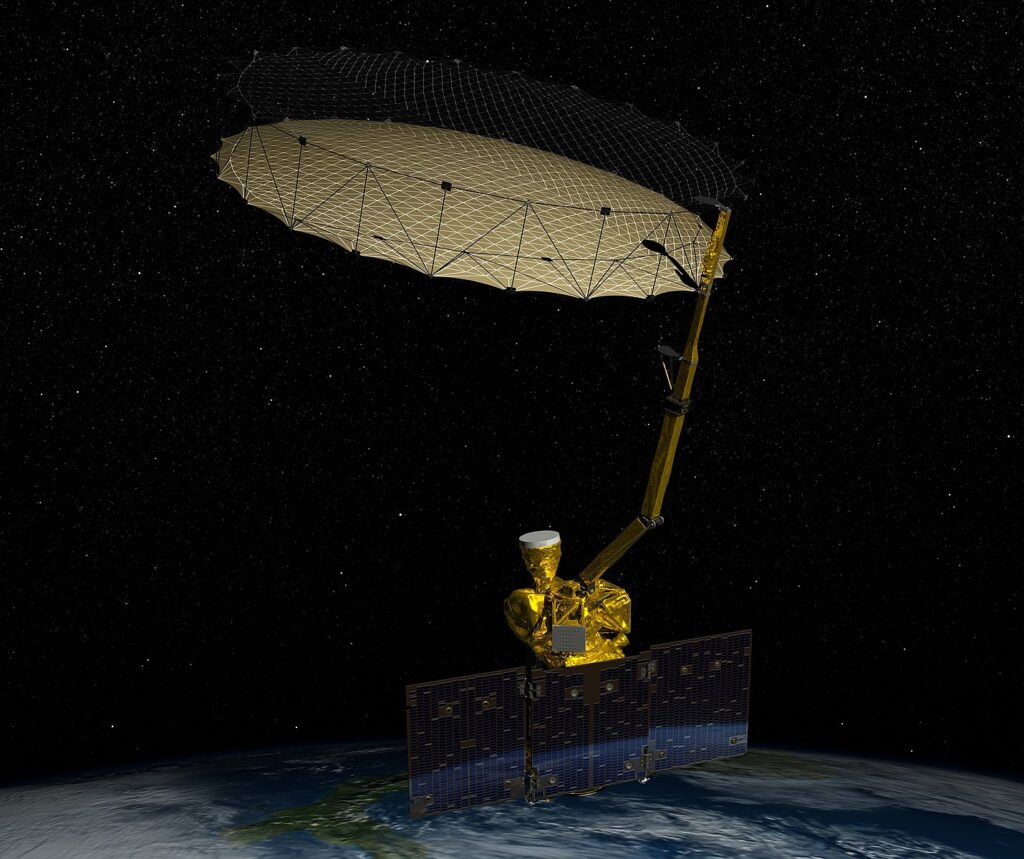
Launched by NASA in 2015, SMAP is a pioneering satellite that measures soil moisture and freeze-thaw states globally. By using both radar and radiometer technology, SMAP provides critical data for agricultural forecasting, flood prediction, and climate science. Its ability to detect changes in soil moisture helps in monitoring droughts and improving water management practices. The data collected by SMAP is essential for understanding the water cycle and its impact on ecosystems, making it a key satellite for environmental research.
Himawari-8
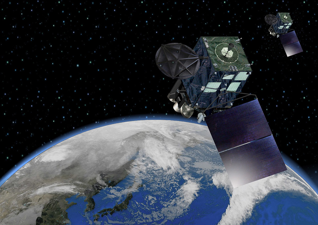
Himawari-8, operated by the Japan Meteorological Agency, is a geostationary weather satellite launched in 2014. Equipped with the Advanced Himawari Imager (AHI), it provides real-time weather observations over Japan and the Asia-Pacific region. With 16 spectral bands, Himawari-8 captures detailed images of clouds, sea surface temperatures, and atmospheric conditions, making it critical for weather forecasting, disaster preparedness, and climate monitoring. Its rapid scanning capabilities, delivering updates every 10 minutes, provide unparalleled data for tracking typhoons, storms, and other weather phenomena.
BIOMASS
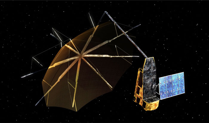
The BIOMASS satellite, an ESA mission scheduled for launch in 2024, is designed to map the Earth’s forests in unprecedented detail using P-band radar technology. This radar can penetrate forest canopies, allowing BIOMASS to measure the amount of carbon stored in forests, which is critical for understanding the global carbon cycle and combating climate change. By monitoring deforestation and forest degradation, BIOMASS will provide key data for climate science and environmental conservation. Its groundbreaking technology is expected to significantly advance our knowledge of global ecosystems.
Terra
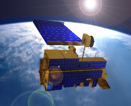
Launched by NASA in 1999, Terra is a flagship satellite in Earth observation, contributing to global environmental monitoring. It is equipped with five key instruments, including MODIS (Moderate Resolution Imaging Spectroradiometer) and ASTER (Advanced Spaceborne Thermal Emission and Reflection Radiometer), which monitor the Earth’s atmosphere, land, and oceans. Terra has provided invaluable data on global climate patterns, deforestation, and natural disasters like wildfires. The satellite’s multi-spectral capabilities allow for detailed, long-term monitoring, making it a crucial tool in studying environmental changes and contributing to sustainable development efforts.
Suomi NPP
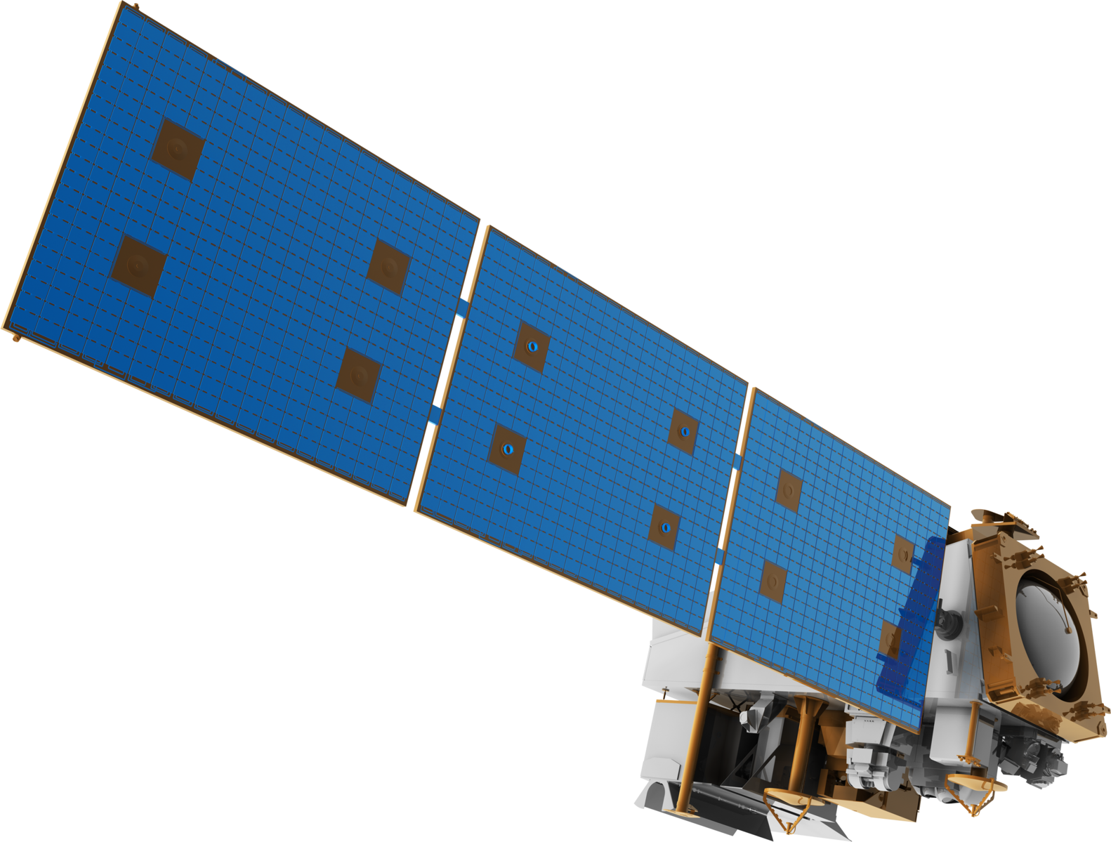
The Suomi National Polar-orbiting Partnership (NPP) satellite, launched in 2011, is a joint effort between NASA and NOAA. Suomi NPP plays a pivotal role in weather forecasting and environmental monitoring, using advanced instruments like the Visible Infrared Imaging Radiometer Suite (VIIRS) to track changes in Earth’s land, oceans, and atmosphere. The satellite provides critical data for tracking natural disasters, monitoring Arctic ice melt, and understanding climate dynamics. Its long-term data collection is helping improve weather prediction models and responses to environmental crises worldwide.
Hyperion (EO-1)
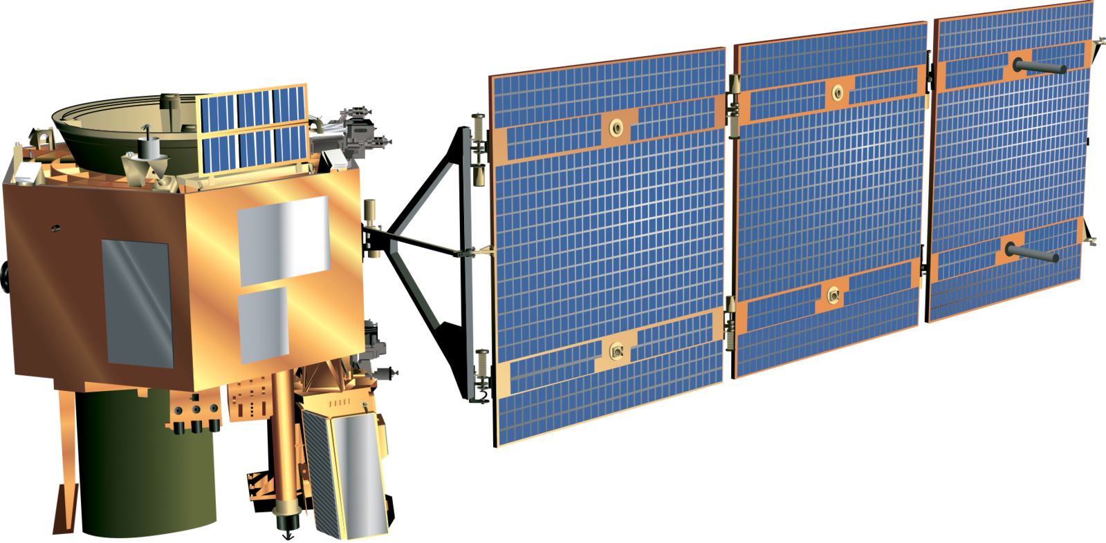
Part of NASA’s Earth Observing-1 (EO-1) mission, Hyperion was one of the first hyperspectral imaging satellites, launched in 2000. Hyperion’s sensor captures images in over 200 spectral bands, allowing scientists to analyze the Earth’s surface in great detail. This satellite has been instrumental in studying land cover changes, agricultural health, and mineral deposits. Although its mission ended in 2017, Hyperion’s legacy lives on as its technology has influenced the development of next-generation hyperspectral satellites for Earth observation, making it a trailblazer in remote sensing.
AQUA
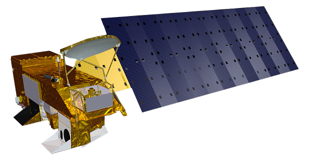
Launched in 2002 by NASA, AQUA focuses on observing Earth’s water cycle, including oceans, glaciers, and atmospheric moisture. Equipped with six advanced instruments, AQUA provides critical data on precipitation, evaporation, and ocean circulation patterns. Its observations have significantly improved the understanding of how water vapor influences climate and weather patterns. The satellite’s contributions to tracking sea surface temperatures, ice coverage, and cloud formation make it a cornerstone in climate science and environmental research.
SAOCOM 1A and 1B
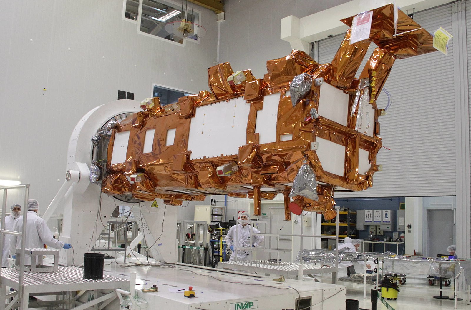
Launched in 2018 and 2020, the SAOCOM (Satélite Argentino de Observación Con Microondas) satellites are operated by Argentina’s National Commission on Space Activities (CONAE). Equipped with synthetic aperture radar (SAR), SAOCOM 1A and 1B are designed to monitor soil moisture, which is critical for agriculture and disaster management. These satellites provide high-resolution images, regardless of weather conditions, making them ideal for tracking floods, forest fires, and crop health. Their ability to penetrate cloud cover and capture data day or night makes SAOCOM a valuable tool in Earth observation and resource management.
Dove Satellites (Planet Labs)
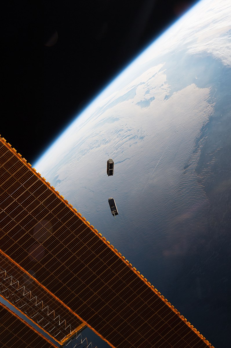
The Dove satellite constellation, operated by Planet Labs, consists of hundreds of miniaturized satellites known as CubeSats. These satellites, continuously launched since 2013, provide daily high-resolution imagery of Earth’s entire landmass. The Doves offer real-time data on land use, agricultural trends, and environmental changes. Their small size and affordability allow Planet Labs to frequently update satellite coverage, providing timely and detailed information that is invaluable for businesses, governments, and environmental organizations. The Dove constellation represents a revolution in accessible and high-frequency Earth observation.
This article originally appeared in MyCarMakesNoise.
More from MyCarMakesNoise
13 Unforgettable Trucks from Classic TV Shows You Need to See

From rugged workhorses to stylish cruisers, these vehicles played crucial roles in their respective shows, leaving a lasting impression on viewers. Read More.
20 Misconceptions About Race Cars You Probably Believe

From the belief that they are simply souped-up street cars to the idea that they are only about speed, many myths surround these high-performance machines. Read More.
13 Car Brands That Make More Sense to Buy New

When it comes to buying a car, opting for a new vehicle has its distinct advantages, especially with certain brands known for their durability, advanced technology, and strong resale value. Read More.


